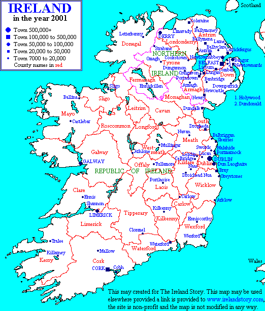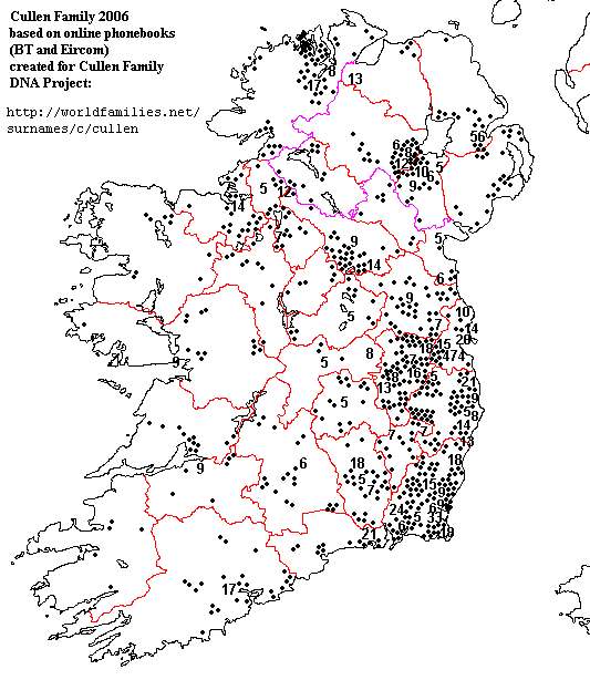
Download this map and you can see it in much better detail (doubleclick to see it fullscreen, or right-click and save the picture). This is based on Griffith's Valuation from the mid 1800s. I placed the dots on the map by hand, but they are mostly accurate. This map will be useful for the Cullen Family DNA Project: http://www.worldfamilies.net/surnames/c/cullen/ The red Xs are where some of our members' families are from, and the red ?s are our members who only know the county their Cullen ancestors are from. (If your eyes are good enough to see some bluish dots, those are families spelled Cullion or Cullian). Obviously, most of the Cullens lived in the southeast of Ireland, in Dublin, Wicklow, Wexford, and that's where we need to get more members. The second map shows the current distribution of Cullens based on online phone books. The lower map is a reference map showing county names and largest towns. It's from http://www.irelandstory.com/ which has lots of interesting maps and history.